Port & harbour surveys
Get complete visibility with maximum precision
Regular port and harbour surveys are essential for safe maritime operations. Worldwide, ports are often affected by the accumulation of silt and clay on the seabed, which is brought in by ocean tides.
Hydrographic and geophysical surveys give vital data that enables corrective actions to be taken. So any build-up on the seabed can be dredged and safe navigational passages can be maintained.
Our MiniPod submersible GNSS units provide precise surface positioning for subsea excavation vehicles, even in the most challenging environments. They are specifically designed to function in shallow water conditions where traditional subsea positioning methods are not feasible.
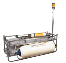
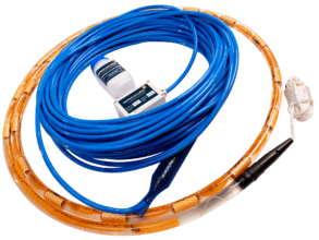
We design and manufacture industry-leading geophysical equipment that helps you profile beneath the seabed. This, combined with geotechnical investigations, allows you to determine the geology within a port.
Additionally, we specialise in acoustic positioning equipment, enabling you to track and position your subsea assets. So you know the exact location of your sidescan sonars, remotely operated vehicles (ROVs) and divers when inspecting harbour walls, subsea infrastructures and pontoons.

Client case studies
